Space is the place
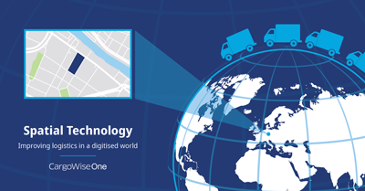
Where are you? You can answer this question in several ways. You can use a street address, a postal code, or geographic co-ordinates. But these methods fall short when you need absolute precision. In a world which is becoming more digitised and speeding up around us, it is more important than ever to know exactly where we are, and where we want to be. Spatial (or geospatial) technology refers to software or hardware that assists with mapping of the earth through the study of position, area and size of locations. Otherwise known as applied geography, spatial science uses technologies such as global positioning systems (GPS), geographic information systems (GIS), remote sensing (RS), satellite imagery, and augmented reality. These technologies are used to visualise, manipulate, analyse, display, and record spatial data.
Spatial information is increasingly used across many industries including transport, defence, security, agriculture, mining, construction, healthcare, and retail. The spatial information industry had an estimated combined market worth of nearly US$340 billion in 2018. Its market worth is expected to grow to around US$440 billion in 2020.
The benefits of spatial technology
The rapid growth of the spatial technology market is a testament to expected and realised improvements in productivity and efficiency. In recent years the positive economic impact of the spatial industry has been nearly double the industry’s revenue growth. This stems from new technologies becoming available and their wider and deeper adoption. Spatial technology also has commercial, social, political and environmental benefits. It can help both businesses and consumers optimise travel routes to beat traffic congestion and increase fuel efficiency and road safety. This helps save time, reduce emissions and improves road safety. Ridesharing companies use spatial technology to accurately determine where users are when they request a ride and how much to charge. In construction, some companies are using high quality satellite imaging combined with spatial technology to quote on certain jobs without having to visit the site. Insurance companies are using the technology to determine risk by remotely assessing the proximity of surrounding buildings and threats and even dating apps accurately determine where future possible matches are waiting.
Toutes les actualités
Dernières actualités
Connectons-nous
Découvrez comment CargoWise peut vous aider à libérer le potentiel de la chaîne logistique.